FDA Researchers Develop Model to Assess Leafy Greens’ Exposure to Livestock Runoff
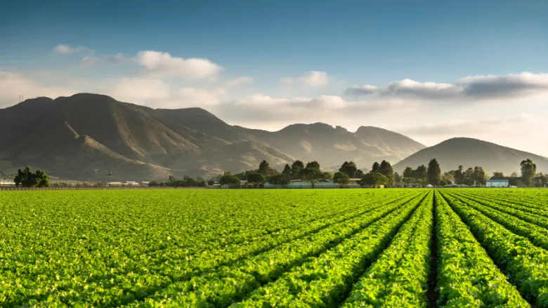
Researchers from the U.S. Food and Drug Administration (FDA) have developed a hydrologic modeling framework to identify leafy greens farms that may be exposed to runoff from upstream livestock operations during rainfall events. The model could help inform targeted environmental monitoring, investigations, and mitigation efforts to prevent preharvest produce contamination.
The study, accepted for publication in the Journal of Food Protection, focused on California’s Salinas Valley, a major leafy greens production region that has been implicated in multiple outbreaks of Shiga toxin-producing Escherichia coli (STEC). Previous FDA outbreak investigations have identified nearby cattle grazing as a potential contributor to leafy greens contamination, with surface-water runoff representing one possible route of pathogen transmission.
To better characterize these potential contamination pathways, the researchers developed an event-based, hydrologic (referring to the movement of water across the landscape) screening model that combined rainfall-derived runoff estimates with mapped surface-water drainage networks connecting livestock operations to downstream produce farms.
The model incorporated livestock-source characteristics, including estimated cattle capacity, as well as the distance that runoff would travel along drainage pathways. The researchers analyzed 48 rainfall events that occurred during 2018–2021 across a 1,239-square-kilometer area of the Salinas Valley.
Hydrologic Connectivity, Not Proximity, Determines Modeled Runoff Exposure
The researchers identified 1,818 hydrologic connections between 58 livestock pastures and 277 downstream farms, as well as 45 connections between a single animal feeding operation and 45 downstream farms.
Under the baseline model assumptions, 86.3 percent of farms had no modeled upstream pasture contribution. The researchers also demonstrated that geographic proximity to livestock operations did not necessarily indicate exposure to runoff.
For example, one pasture with an estimated capacity of 1,170 cattle was hydrologically connected to 56 downstream farms. Although 13 geographically mapped farm polygons physically overlapped with the pasture, only two were located downstream according to the modeled drainage network.
Looking for quick answers on food safety topics?
Try Ask FSM, our new smart AI search tool.
Ask FSM →
Conversely, farms located farther from livestock operations could be hydrologically connected through surface-water drainage pathways. The median modeled flow-path distance between pastures and downstream farms was 16.8 kilometers.
The largest rainfall event analyzed, which occurred January 27–29, 2021 and produced 147.3 millimeters of precipitation, generated the highest modeled runoff-exposure values for all farms with nonzero exposure.
Sensitivity analyses showed that overall farm rankings remained relatively consistent under different runoff and flow-path attenuation assumptions; however, the farms identified as having the highest modeled runoff exposure varied depending on assumptions about how upstream influence decreased with distance.
Potential Applications for Produce Safety Assessments
The researchers emphasized that the model was intended as a screening tool and did not estimate pathogen presence, pathogen concentrations, the probability of produce contamination, or food safety risk. Rather, it characterized the relative hydrologic influence of runoff from upstream livestock sources on downstream farms.
The framework also did not account for certain factors that could affect pathogen transport, including groundwater movement, flooding, field-scale drainage infrastructure, vegetated buffers, or site-specific runoff controls.
Nevertheless, the researchers suggested that the approach could complement existing produce safety assessments by helping regulators, researchers, and industry stakeholders identify locations that may warrant additional environmental investigation.
Potential applications included prioritizing water and sediment sampling during and after rainfall events, identifying upstream areas for investigation, and evaluating opportunities for drainage management, vegetated buffers, and other runoff mitigation measures.
The researchers concluded that incorporating landscape-scale hydrologic connectivity into produce safety assessments could provide valuable context for understanding potential contamination pathways beyond individual farm boundaries.